

Cross Country Ski Trail Map
Download USFS Sugarbush Trail georeferenced map for use with wayfinding apps such as Avenza.Download Avenza maps to your mobile phone.

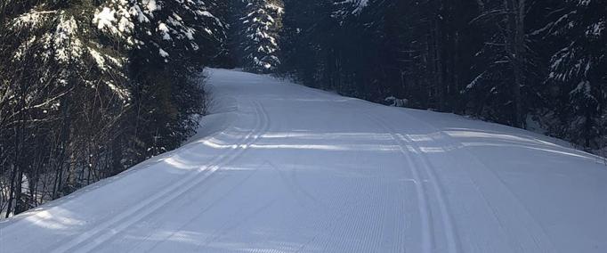
Explore our site...discover the trails! The Sugarbush Trail Association maintains 65 kilometers of cross country ski trails through beautiful and remote Forest Service land in the Lutsen-Tofte area, and has partnered to help develop nearly six miles of new single-track mountain bike trails with additional miles in the planning stage.